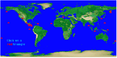
How are the locations alike and different? How might
these two phenomena be related?
Check out http://vulcan.wr.usgs.gov/Graphics/framework2.html
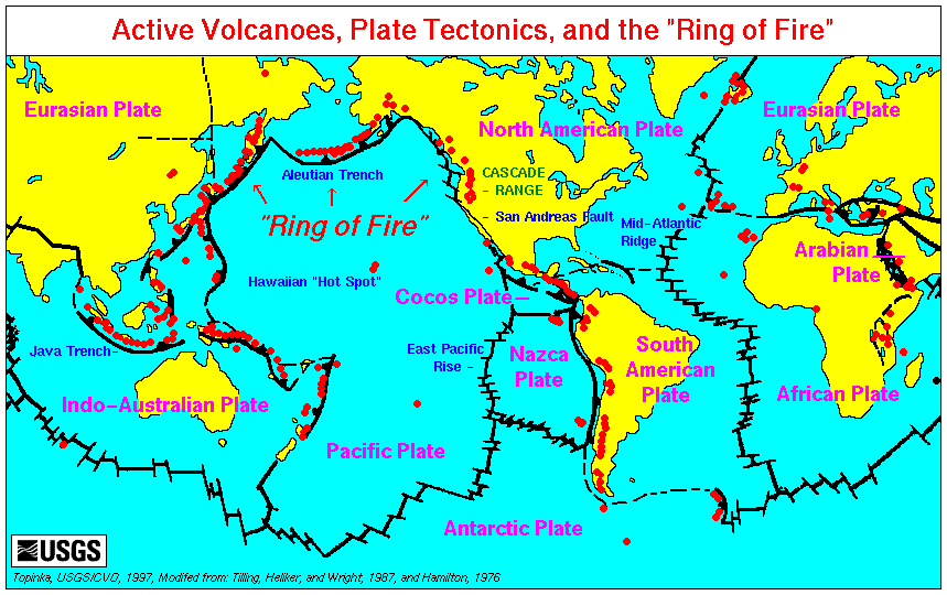
This is a terrific map! Ten tectonic plates are shown (the violet tites):
Eurasion Plate
Inod-Austrian Plate
Pacific Plate
North American Plate
Cocos Plate
Nazca Plate
South American Plate
African Plate
Arabian Plate
Antarctic Plate
In the map above, the boundaries of tectonic plates are the heavy black
jagged lines, the volcanoes are red. It's interesting to compare
these plates with land/water covering. Various landmarks are labeled
including the "ring of fire," which coincides with major volcanoes including
Mt. St. Helens. One "hot spot" exception to this rule are the Hawaiian
Islands. There is much interesting discussion about this at http://vulcan.wr.usgs.gov/Glossary/PlateTectonics/description_plate_tectonics.html